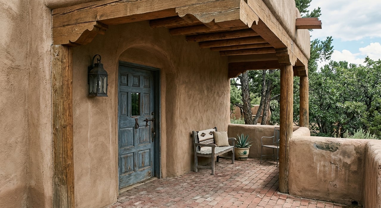
Picture your own high-country basecamp minutes from Ruidoso’s amenities and Alto’s cool pines. Recreational land here can be a smart play for weekend escapes, hunting and hiking access, or a long-term hold. The key is knowing what to check before you write an offer so you avoid surprises with access, utilities, or permitting. In this guide, you’ll learn the essentials specific to Alto and Lincoln County, plus a step-by-step checklist you can use right away. Let’s dive in.
Why Alto is different
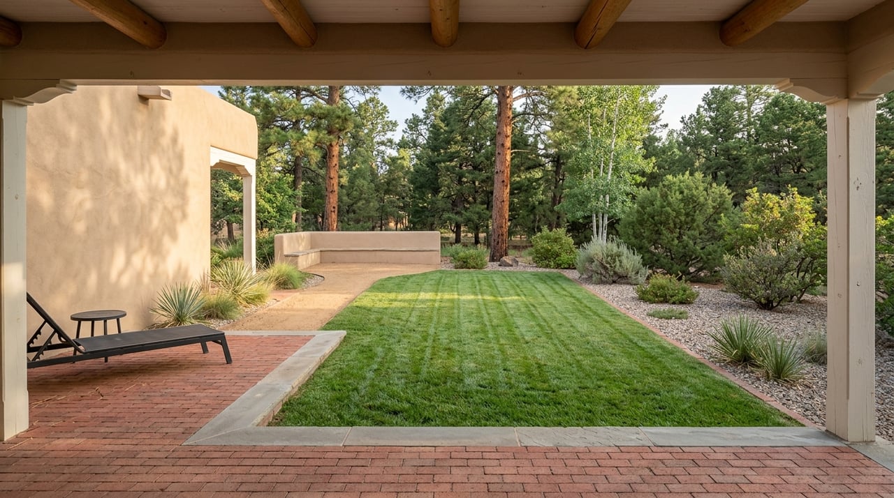
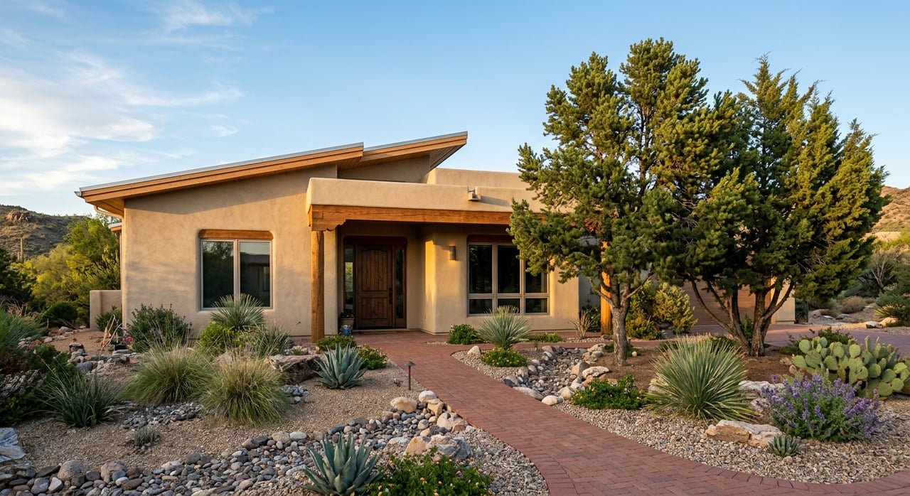
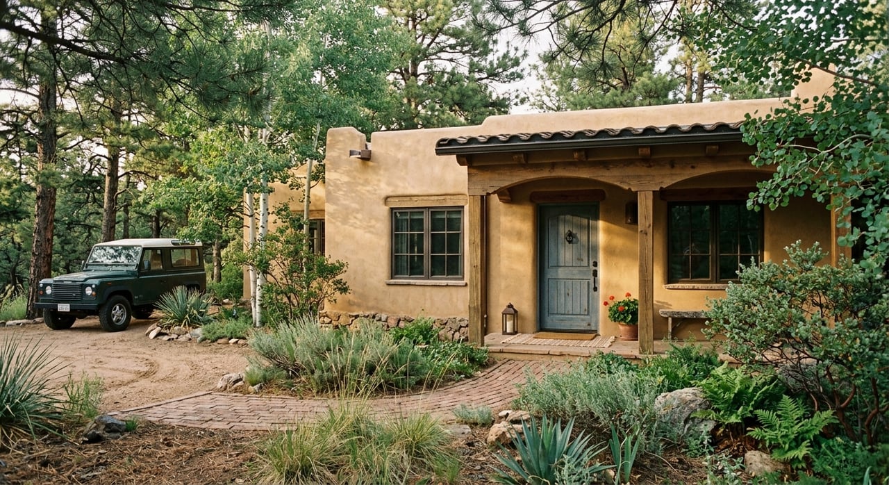
Alto sits on the eastern slopes of Sierra Blanca with elevations around 7,300 to 7,800 feet. You will find mixed-conifer forests, ponderosa stands, and piñon-juniper hillsides. Much of the surrounding landscape is Lincoln National Forest, with water features like Alto Reservoir and the Rio Bonito and Rio Ruidoso shaping local access and drainage patterns. Buyers often choose from forested mountain lots, small ranchettes, agricultural parcels, and platted recreational subdivisions.
If you want weekend use, hunting and fishing access, or a cabin site near Ruidoso’s services, Alto can be a strong fit. Just make sure you confirm access, utilities, and land-use rules upfront. Those items drive real value here.
Access and easements
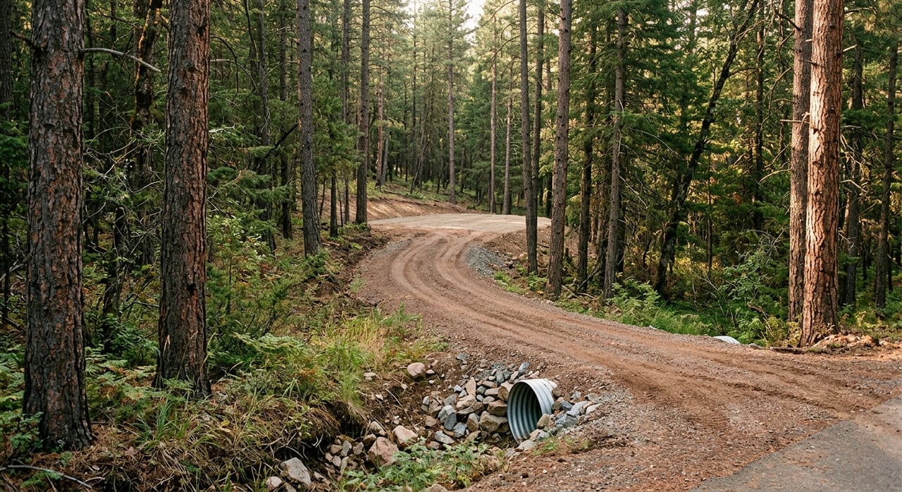
Access is often the number one deal maker or breaker in mountain markets. Roads can be county maintained, private, or tied to federal systems. Know exactly how you get to the parcel in all seasons, and who pays to keep that road passable.
Legal access basics
- Ask for a current title commitment and recorded plat or deed references that show a dedicated access easement.
- Order a survey. An ALTA/NSPS survey is a smart move if you plan to build or finance. It will confirm access lines, easements, and encroachments.
- Contact the Lincoln County Planning & Inspections team to understand local procedures for recorded easements and subdivision rules. Start with the county’s planning page for contacts and ordinances.
County vs. private roads
- Confirm whether your approach is on a maintained county road. The Lincoln County Roads office can verify maintenance, snow removal, and any planned projects for your route. Check with the County Roads office early.
- If access crosses private land, get a recorded, perpetual vehicular easement. Do not rely on handshake agreements.
- For gated subdivisions or HOA roads, request the road maintenance agreement, cost history, and any reserve schedules for major repairs.
US Forest Service routes
If your drive relies on a Forest Service road or you border USFS land, verify travel status, seasonal closures, gates, and maintenance responsibility. The Forest Service can restrict motorized access for resource protection, logging, or fire operations. Review the USFS project and closure archive for the Lincoln National Forest and speak with the Smokey Bear Ranger District as needed.
Zoning, permitting, and HOAs
Most Alto-area parcels outside village limits fall under Lincoln County rules. This is where you confirm what you can build, where you can build it, and any site improvements you need before a permit.
County planning and ordinances
- The Lincoln County Planning & Inspections Department handles subdivision review, floodplain controls, and project permitting. Use the county planning page to confirm your parcel’s status and permitted uses.
- Ask about overlays that may affect your lot, such as floodplain boundaries or areas that require wildfire mitigation.
- If your parcel is inside a municipality like Ruidoso, note that village codes and enforcement will apply instead of county rules.
Subdivision covenants and rules
Many recreational neighborhoods use CC&Rs that are stricter than the county. You may see minimum home sizes, exterior material rules, RV and short-term rental limits, tree-removal guidelines, and architectural review requirements. Always request recorded CC&Rs and any HOA budgets before making final decisions.
Utilities and services
Utilities vary widely with distance to existing infrastructure and terrain. Budget and timing depend on what you find during due diligence.
Electricity
PNM serves much of the Ruidoso and Alto area. Some parcels have power at the lot line. Remote sites may need a line extension or off-grid solutions. Ask the utility for extension cost and timeline estimates. Use PNM contacts listed in this state utility planning document to start the conversation.
Water supply
Many recreational parcels use drilled wells, hauled water, or community systems. The U.S. Geological Survey’s Upper Rio Hondo Basin study covers local aquifers, reservoirs like Alto Reservoir, and streamflow trends. It is a helpful reference when you estimate well depth and yield. Review the USGS basin study and ask for nearby well logs and any community water operator details.
Wastewater and septic
On-site wastewater systems are regulated by the New Mexico Environment Department. A septic feasibility or site evaluation is common before a building permit or at property transfer. Lot size, soils, slope, and depth to bedrock influence whether you can use a conventional system or need an advanced unit. Read NMED’s guidance on evaluations and permits in this septic overview and request any existing permit records for the parcel.
Internet and communications
Expect spotty cell coverage in canyons. Many owners use fixed wireless, DSL where available, or satellite options for reliable service. Bring your phone to a site visit and test your carrier on and around the lot.
Trash, emergency, and fire services
Garbage pickup and emergency response vary by location. Ask the seller and HOA about trash providers and verify fire coverage for your area. Wildfire risk is a top local concern, so plan for defensible space and annual maintenance.
Topography, wildfire, and environmental risks
Mountain terrain is beautiful and challenging. A little upfront homework can save you time and money later.
Slope and buildability
Steep slopes, rocky outcrops, and variable soils can increase foundation, driveway, and drainage costs. A topographic survey and geotechnical report are smart steps before you buy if you plan to build. The USGS basin study offers helpful regional context, but site-specific testing will drive actual design decisions.
Wildfire risk and mitigation
Lincoln County has an adopted Community Wildfire Protection Plan with hazard maps and defensible-space guidance. Review the county CWPP to understand local risk and evacuation planning. Insurance pricing and coverage limits can vary with hazard ratings, so contact local carriers early and budget for mitigation work.
Flooding and drainage
Post-fire runoff and flash flooding can impact mountain parcels, especially near drainages. Use FEMA’s Flood Map Service Center to check your current flood zone and talk with the county about any floodplain requirements. A drainage study may be required if you plan to build near mapped flood areas.
Soils and septic suitability
Soils range from shallow and rocky on ridges to deeper alluvial deposits in valleys. A licensed septic evaluator can run percolation tests and advise whether a conventional leach field is feasible or if you will need an advanced system. Combine NMED guidance with on-site testing to build a realistic budget.
Mineral rights and public lands
In New Mexico, mineral rights can be separate from surface ownership. Confirm what rights convey and whether there are existing leases that could affect surface use. Start at the New Mexico State Land Office for information on state trust lands and lease status. If your parcel touches public lands, ask about use restrictions and access rules.
Your step-by-step due diligence checklist
Use this list before you remove contingencies or increase your offer.
- Title and survey
- Order a current title commitment that lists all recorded easements, CC&Rs, and mineral reservations.
- Hire a licensed surveyor. An ALTA/NSPS survey is best if you plan to build or finance.
- Land use and permits
- Call the county to confirm allowable uses, setbacks, and any overlays using the Lincoln County Planning page.
- Road access and maintenance
- Ask the County Roads office if your approach is county maintained and snow cleared.
- For private or HOA roads, collect road agreements, fee histories, and gate rules.
- Utilities
- Contact PNM for a service-availability and line-extension estimate using this utility planning resource.
- For water, review the USGS Upper Rio Hondo study and request nearby well logs and any community operator details.
- For septic, read NMED’s property transfer and evaluation guide and schedule a site appraisal.
- Environmental and hazard checks
- Verify flood status at FEMA’s Flood Map Service Center.
- Review wildfire hazard zones and mitigation steps in the Lincoln County CWPP.
- If access uses or borders USFS roads, confirm travel status through the USFS Lincoln archive.
- Minerals and public lands
- Ask your title company to clarify mineral reservations and consider a specialist review. For state trust land questions, start with the New Mexico State Land Office.
- HOA and subdivision rules
- Request recorded CC&Rs, architectural guidelines, road budgets, and special assessments. Confirm short-term rental rules if that is part of your plan.
Local contacts you will want on your team
- Lincoln County Planning & Inspections for zoning, permits, and floodplain guidance.
- Lincoln County Roads for road status and maintenance details.
- County Clerk and a reputable title company for recorded easements, CC&Rs, and mineral notations.
- Licensed surveyor for boundary and ALTA/NSPS surveys.
- Licensed well driller or hydrogeologist for well feasibility.
- Septic designer or NMED-certified evaluator for on-site wastewater.
- PNM for electric service and line-extension estimates.
- USFS Smokey Bear Ranger District to confirm road status or closures near public lands.
- New Mexico State Land Office to check state trust land leases near your parcel.
How a local advisor adds value
Recreational land deals can be complex, but they do not have to be stressful. With deep local roots and a background in paralegal work and loan closings, I guide you through title, survey, access, and permitting with care. I coordinate the right local pros, set clear timelines, and keep your goals front and center. Whether you want a simple weekend spot or plan a cabin build, you will have a straightforward plan for due diligence, budget, and closing.
Ready to explore Alto and greater Lincoln County with a trusted local? Reach out to Misty K Strickland for a personal consult and a tailored property list.
FAQs
What counts as legal access for land near Alto?
- Legal access means you can reach the parcel by a recorded, perpetual vehicular easement or on a public right of way. Confirm this in the title commitment and on a survey, and verify maintenance with the Lincoln County Roads office.
How do I evaluate well potential in the Alto area?
- Review the USGS Upper Rio Hondo Basin study for regional context, pull nearby well logs, and consult a local driller. Yields and depths can vary over short distances, so use site-specific data before budgeting.
Are short-term rentals allowed on recreational land near Alto?
- It depends on the parcel, subdivision CC&Rs, and whether the property is in unincorporated county or within a municipality. Ask Lincoln County Planning and read recorded CC&Rs to confirm rules before you buy.
How does wildfire risk affect buying and insurance?
- Hazard ratings can influence coverage and premiums. Review the county CWPP, plan for defensible space, and speak with local insurance agents early to understand costs and any coverage limits.
Who maintains roads in Alto subdivisions and gated areas?
- Many subdivision roads are private and maintained by an HOA or road association. Request the maintenance agreement, fee history, and reserve schedules to understand long-term costs and winter access.